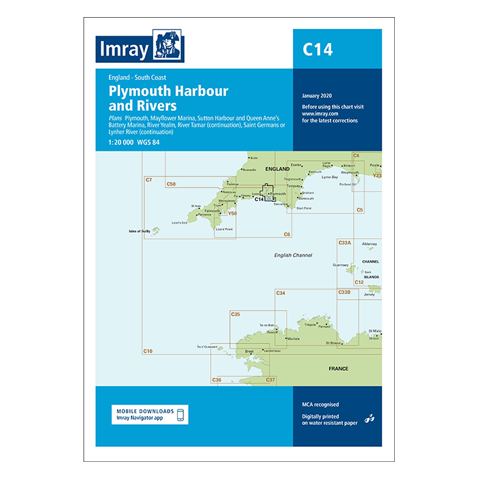
This edition of the C14 paper chart is printed and corrected to January 2021.
Digitally printed on water resistant paper & folded to A4 size in a plastic wallet – open size: 79 x 112cm
Chart scale 1:20 000
WGS 84
MCA recognised
Detailed cartography using up-to-date official survey data, with the latest depth surveys applied
Contains tidal stream information including direction and rates
Includes a separate sheet of information with any symbols & abbreviations used on Imray charts
The chart specification has been improved to show coloured light flashes
Latest chart corrections available on the Imray website
Plans included:
Plymouth
Mayflower Marina
Sutton Harbour & Queen Anne’s Battery Marina
River Yealm
Continuation of River Tamar
Continuation of Saint Germans or Lynher River